3D Model being developed to predict flash floods
- Digital elevation model of the entire country to be generated gradually by mapping terrain roughness

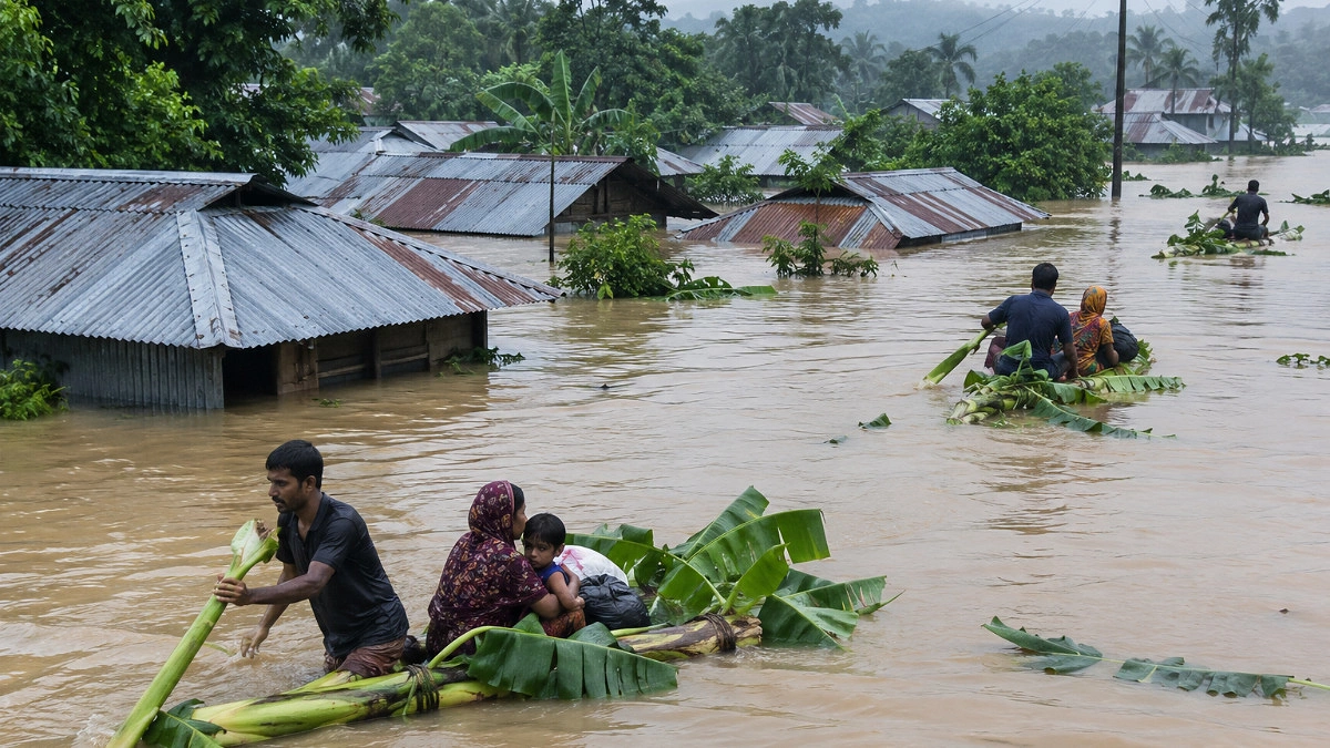
Representational image drawn by AI.
Nepal's recent devastating floods have served as an eye-opener for Bangladesh. A Digital Elevation (3D) Model is being developed to forecast flash floods, starting initially with the Sylhet region. Upon successful implementation, it will be rolled out nationwide. To this end, the Ministry of Defence is undertaking a project titled "Preparation of Digital Elevation (3D) Model of Sylhet Division to Enhance Flood Forecasting Capacity," with an estimated cost of BDT 48.11 crore.
The project will be implemented by the Survey of Bangladesh between this year and June 2029. Finance and Planning Minister Amir Khasru Mahmud Chowdhury has already approved the project. Prime Minister Tarique Rahman will be briefed about the project this coming Wednesday, as the Ministry of Planning has finalized preparations to present it for information at the Executive Committee of the National Economic Council (ECNEC) meeting, according to related sources.
Planning Secretary S. M. Shakil Akhter told Agamir Somoy that since the total cost is under BDT 50 crore, the Planning Minister holds the authority to approve it. However, as per convention, such projects are still presented to ECNEC after approval. He emphasized the project's importance, noting that 3D elevation data for the Sylhet division will be collected to enhance flood forecasting capabilities. This data will help determine terrain roughness to build a Digital Elevation Model for Sylhet and, eventually, the entire country. The model and geospatial data will be supplied according to the needs of public and private service agencies.
According to the project proposal, the Survey of Bangladesh began its journey as the national mapping agency in 1767 under the name Bengal Survey, later adopting its Bengali name in 1984. A tidal station was set up at Rangadia in Chittagong in 1992 to determine the mean sea level. The agency provides geospatial data, including topographical maps, geographic maps (upazila, district, division, etc.), thematic maps, trigonometrical and geodetic control networks, GNSS CORS networks, GIS databases, aerial photography, orthophotos, contours, spot heights, and sea-level height data.
The Sylhet region in northeastern Bangladesh holds significant economic, trade, and investment potential. Home to mountains, waterfalls, rivers, haors, forests, tea gardens, and swamp forests, Sylhet features 26 to 27 major tourist spots. Currently, climate change, mountain runoff, excessive rainfall, and the siltation of rivers and canals have posed severe challenges. Precise planning and precautionary measures are essential to address the region's weather, climate, and flash floods. The project was proposed to generate large-scale topographical maps, a rich GIS database, and precise digital elevation models needed for a master plan to develop Sylhet into a modern, beautiful city.
Key project expenses include BDT 24.80 crore for aerial photography or satellite imaging, BDT 2.5 crore for purchasing 19 computers, and BDT 9 crore for ICT equipment. Additionally, BDT 28 lakh will be spent on 61 electrical devices, BDT 20 lakh on furniture, BDT 2 crore on 78 items of other machinery and equipment, and BDT 1.90 crore on six software packages.
Dr. Neyamat Ullah Bhuiyan, Member (Senior Secretary) of the Physical Infrastructure Division of the Planning Commission, noted in his appraisal that the project aligns with the second chapter of the election manifesto regarding water resource planning and disaster management. This chapter emphasizes enhancing institutional capacity by acquiring state-of-the-art equipment to adopt sustainable and effective strategies against climate change crises. Consequently, the proposed project was processed and approved with high priority.