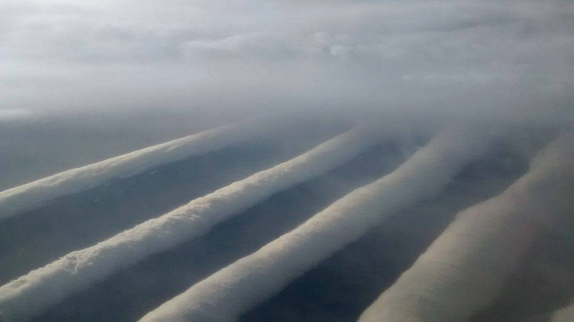
Vast Rolling Clouds in the Sky: How Is this marvel created?

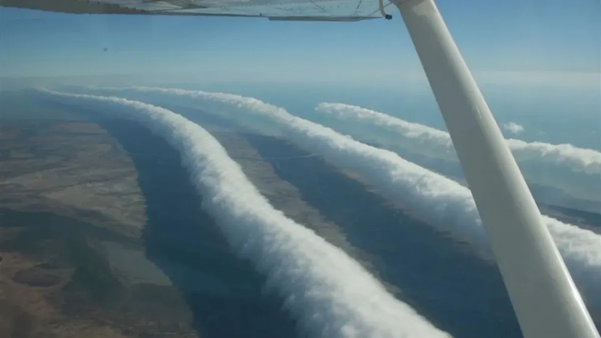
From a distance, it might look as if a massive roller is spinning in the sky. Photo: Collected.
In the morning sky, long rows of clouds stretch from one end of the horizon to the other. They look much like enormous tubes—smooth in some places, undulating in others. This elongated cloud formation moves along with the wind. Seen from a distance, it can seem as though some giant roller is turning across the sky. This is no science-fiction scene. Such clouds are created in nature itself. Meteorologists know them as "roll clouds." Their most famous example is the "Morning Glory," which is seen around the Gulf of Carpentaria in Queensland, Australia. According to NASA, under special conditions these clouds can extend for nearly a thousand kilometers.
How is this vast roll in the sky formed? Behind this strange shape of the cloud lies a complex interplay of atmospheric temperature, humidity, and air movement. Normally, warm air near the ground rises and cools, causing its water vapor to condense and form clouds. But in the case of the Morning Glory, wave-like air movement also plays an important role.
Around the Gulf of Carpentaria, interaction occurs between air coming from land and from the sea. In the early morning after nightfall, temperature differences and the influence of sea breezes coming from the opposite direction can create a kind of wave in the atmosphere. Air rises and falls with this wave. When part of the air rises and cools, clouds form there; when it descends again, the cloud's water droplets may evaporate. In this way, the long tubular cloud shape takes form.
Collected photo.
Another feature of this cloud is that although it appears to be rotating, it does not roll across the sky like a solid object or a giant tube. Rather, water vapor condenses at the front of the cloud, creating new cloud, while the cloud at the back dissipates. This movement of air creates the appearance of rolling.
Where can this rare cloud be seen? In northern Australia, especially around Burketown in Queensland, the chance of seeing the Morning Glory is higher in spring. Under special local weather conditions, one cloud roll after another can also form. Sometimes these form long horizon-spanning rows and advance. Sky enthusiasts, photographers, and meteorologists show interest in the region to see this sight.
However, not all roll clouds are born the same way. When cold air rapidly descends toward the ground and spreads out ahead of a thunderstorm, it can push the surrounding warm, humid air upward. When that air cools and condenses, it creates a long, shelf-like cloud called a "shelf cloud." Although it looks like a roll cloud, it is usually associated with storm clouds.
Along with the beauty of these clouds, there are also some risks. The air currents associated with the Morning Glory can sometimes produce strong gusty winds and atmospheric instability. This kind of condition is especially important for aircraft operations. So however mesmerizing the sight may be, it is essential to remain aware of the weather conditions.Sources: NASA Science, World Meteorological Organization's International Cloud Atlas, Ludwig Maximilian University of Munich, Royal Society.